The ‘Coastal’ Line is the third of the three imaginary lines that locate the site of the Tinkinswood Burial Cairn. It runs broadly west-east from Hutchwns Point, west of Porthcawl - the most westerly point of the Vale of Glamorgan - to Penarth Head – the Vale’s most easterly point. Like the ‘Rivers’ line it is 8,000 poles (or one thousandth of the earth’s circumference) in length.
Fig 10 The ‘Coastal Line
Tinkinswood bisects this line, as it does the other two lines, not in the ratio of 3:5, but in the ratio of 6: 2. Tinkinswood is this time 6,000 poles from Hutchwns point and 2,000 poles from Penarth Head.
In the middle of the ‘Coastal’ line, 4,000 poles from either end lies the site of Cowbridge Church, indicating settlement in this town considerably older than Roman times. Tinkinswood lies therefore exactly halfway between the site of Cowbridge Church and Penarth Head.
Today the end of the ‘Coastal’ line is in the sea, some distance from the tip of Hutchwns Point. However, a visitor to this point on the coast will notice the considerable erosion that has taken place and is still taking place as a result of the Atlantic breakers beating on the shore. Each year several inches of coast are lost. Moreover, this point is subject to the fiercest forces of the westerly wind and waves and, being a point, is eroded from two sides: the south and the west. In fact so much erosion has taken place that there is little left today to justify what the map still calls a ‘point.’
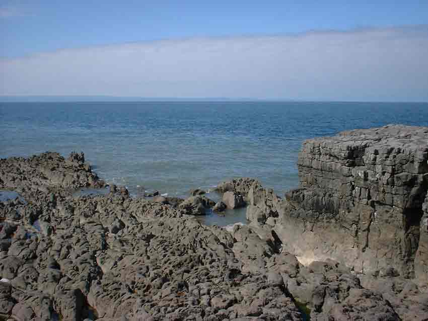
Coastal Erosion at Hutchwns Point – the Westerly Tip of the Vale of Glamorgan
By contrast Penarth Head is sheltered from the winds and it appears that comparatively little erosion has taken place there in the last six thousand years.
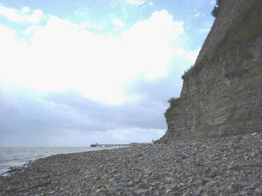
Cliffs at Penarth Head near Cardiff
Measured on the Ordnance Survey map today, the true length of the ‘Coastal’ line is some 7,850 poles. An 8,000 pole distance from Penarth Head is thus some 750 metres into the Bristol Channel. But 750 metres of erosion over 6,000 years equals only 12.5 centimetres (5 inches) per year - not an unreasonable average for an exposed point.
Secondly, we saw from the ‘Rivers line’ how Tinkinswood bisected the line at a precise point. When we find that Tinkinswood is 2,000 poles from Penarth Head, it suggests that the remainder of the Coastal line should also be a whole round number – 6,000 poles rather than, say, 5,900. It also seems unlikely that Tinkinswood’s builders would have chosen two locating lines of very similar but differing lengths.
Lastly, if the line were 8,000 poles in length its midpoint would be 4,000 poles from Penarth Head. Cowbridge Church – almost certainly built on an ancient site - stands on this spot, bisecting the ‘Coastal’ line into two equal segments and giving us further evidence that the ‘Coastal’ line was originally 8,000 poles in length.
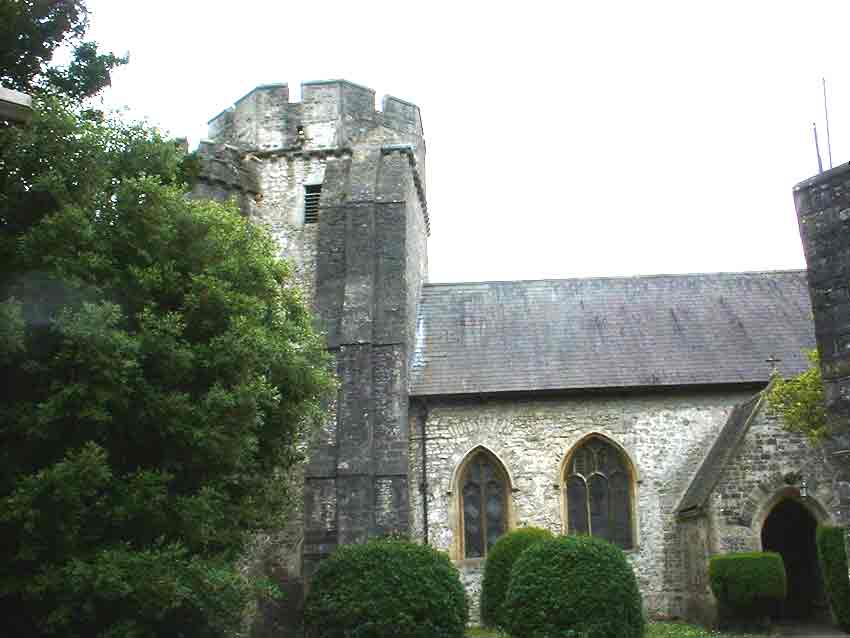
The Mediaeval Church at Cowbridge Lies Precisely at the Centre of the ‘Coastal’ Line
BACK: Home Page and Index.
MORE DETAIL: